Southern Saskatchewan Map
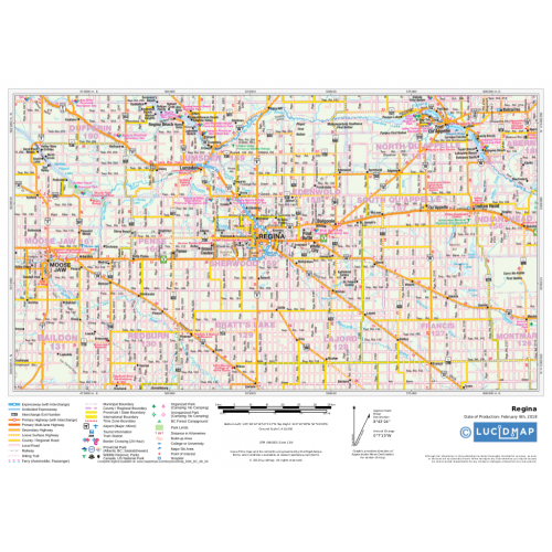
Create custom regional maps in Canada from this series of attractive detailed road maps covering most of the populated areas across Canada. Maps are developed from Lucidmap’s iconic Canadian cartography. Coverage of southern Saskatchewan begins at the Canada-USA border in the south and extents up to Lac La Ronge Provincial Park in the north. The east-west coverage includes Esterhazy and Hudson Bay in the east, and Swift Current and Beauval in the west. Native scale is 1:500,000.
Details
Map of Southern Saskatchewan
Create custom regional maps in Canada from this series of attractive detailed road maps covering most of the populated areas across Canada. Maps are developed from Lucidmap’s iconic Canadian cartography. Coverage of southern Saskatchewan begins at the Canada-USA border in the south and extents up to Lac La Ronge Provincial Park in the north. The east-west coverage includes Esterhazy and Hudson Bay in the east, and Swift Current and Beauval in the west. Native scale is 1:500,000.
Click here to buy more Map of Saskatchewan TownsMore Information
| SKU | 350d063ad1a0d2090b5707633fe9acf2 |
|---|---|
| Map Specification | Maximum Print Scale - 1:250,000 Minimum Print Scale - 1:750,000 Optimal Print Scale - 1:500,000 |
| Publisher Name | Lucidmap |
Reviews
{{title}}
{{detail}}