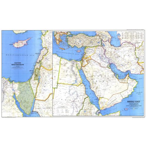
Middle East - Published 1978
When this map of the Middle East was created, Israel had occupied the West Bank, Sinai Peninsula, and Golan Heights for over a decade. Six months later, after signing the Israel-Egypt Peace Treaty, Israel withdrew from the Sinai Peninsula and evacuated the settlements it had established there during the 1970s. Published in September 1978 as a companion to the historical map "Early Civilizations in the Middle East."
Details
When this map of the Middle East was created, Israel had occupied the West Bank, Sinai Peninsula, and Golan Heights for over a decade. Six months later, after signing the Israel-Egypt Peace Treaty, Israel withdrew from the Sinai Peninsula and evacuated the settlements it had established there during the 1970s. Published in September 1978 as a companion to the historical map "Early Civilizations in the Middle East."
More Information
| SKU | ngmaps-HM19780901-1 |
|---|---|
| Flat Size | 37 x 23 in |
| Publication Date | 1978 |
| Publisher Name | National Geographic |
Reviews
{{title}}
{{detail}}