Mexico and Central America - Published 2008
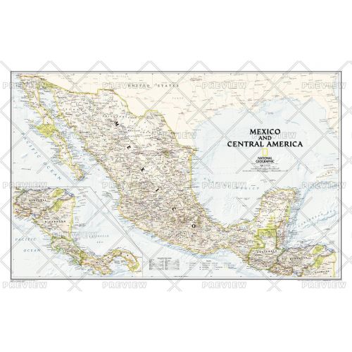
As compared with our separate maps of Mexico and Central America , this map provides a contextual view of the region, and includes political boundaries, place names, waterways, major roads, parks and preserves, shaded relief, and more.
Details
As compared with our separate maps of Mexico and Central America , this map provides a contextual view of the region, and includes political boundaries, place names, waterways, major roads, parks and preserves, shaded relief, and more.
More Information
| SKU | ngmaps-HM20081300-1 |
|---|---|
| Flat Size | 34.75 x 22.75 in |
| Publication Date | 2008 |
| Publisher Name | National Geographic |
Reviews
{{title}}
{{detail}}
No reviews yet ...
Have an opinion? Help others decide. Share your knowledge about this product by submitting a review.
{{/items}}
{{#previousPage}}
Previous Page
{{/previousPage}}
{{#load-more-src}}
Next Page
{{/load-more-src}}
★★★★★
★★★★★