Close-up USA, Mid-Atlantic States Map - Published 1976
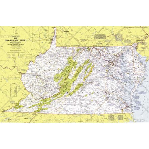
This map details the Mid-Atlantic United States. Explore the earliest English settlements in North America, Revolutionary War and Civil War sites, and the nation's capital. Published in October 1976 as part of the "Close-up: U.S.A." series, with the travel poster "Maryland, Virginia, Delaware, West Virginia: Beckoning Land Beside Bay and Sea" and two articles on the Potomac River.
Details
This map details the Mid-Atlantic United States. Explore the earliest English settlements in North America, Revolutionary War and Civil War sites, and the nation's capital. Published in October 1976 as part of the "Close-up: U.S.A." series, with the travel poster "Maryland, Virginia, Delaware, West Virginia: Beckoning Land Beside Bay and Sea" and two articles on the Potomac River.
More Information
| SKU | ngmaps-HM19761001-1 |
|---|---|
| Flat Size | 35 x 22.75 in |
| Publication Date | 1976 |
| Publisher Name | National Geographic |
Reviews
{{title}}
{{detail}}