North Central United States Map - Published 1948
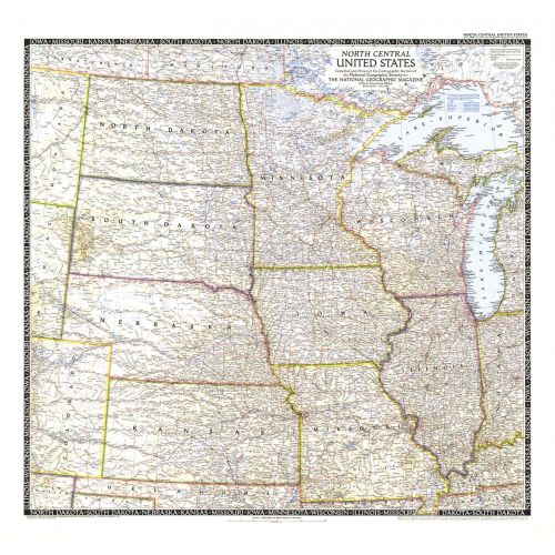
The North Central United States map is the sixth in a series of sectional maps of the United States. Published in June 1948 with two articles including "Mapping the Nation's Breadbasket," it provides a thorough look at the states of North Dakota, South Dakota, Minnesota, Nebraska, Iowa, Wisconsin, Illinois, Missouri, and Kansas.
Details
The North Central United States map is the sixth in a series of sectional maps of the United States. Published in June 1948 with two articles including "Mapping the Nation's Breadbasket," it provides a thorough look at the states of North Dakota, South Dakota, Minnesota, Nebraska, Iowa, Wisconsin, Illinois, Missouri, and Kansas.
More Information
| SKU | ngmaps-HM19480600-1 |
|---|---|
| Flat Size | 29.25 x 27.5 in |
| Publication Date | 1948 |
| Publisher Name | National Geographic |
Reviews
{{title}}
{{detail}}
No reviews yet ...
Have an opinion? Help others decide. Share your knowledge about this product by submitting a review.
{{/items}}
{{#previousPage}}
Previous Page
{{/previousPage}}
{{#load-more-src}}
Next Page
{{/load-more-src}}
★★★★★
★★★★★