Alaska Map - Published 1994
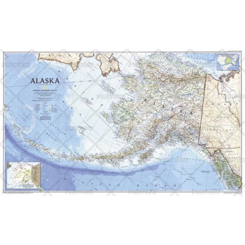
Cartographers usually break Alaska up into sections, but this unique map shows all of the state, more than 2,200 miles from the tip of the panhandle to the outermost Aleutian Island, in the same scale on one, wide sheet. Published in May 1994.
Details
Cartographers usually break Alaska up into sections, but this unique map shows all of the state, more than 2,200 miles from the tip of the panhandle to the outermost Aleutian Island, in the same scale on one, wide sheet. Published in May 1994.
More Information
| SKU | ngmaps-HM19940501-1 |
|---|---|
| Flat Size | 37 x 22.25 in |
| Publication Date | 1994 |
| Publisher Name | National Geographic |
Reviews
{{title}}
{{detail}}
No reviews yet ...
Have an opinion? Help others decide. Share your knowledge about this product by submitting a review.
{{/items}}
{{#previousPage}}
Previous Page
{{/previousPage}}
{{#load-more-src}}
Next Page
{{/load-more-src}}
★★★★★
★★★★★