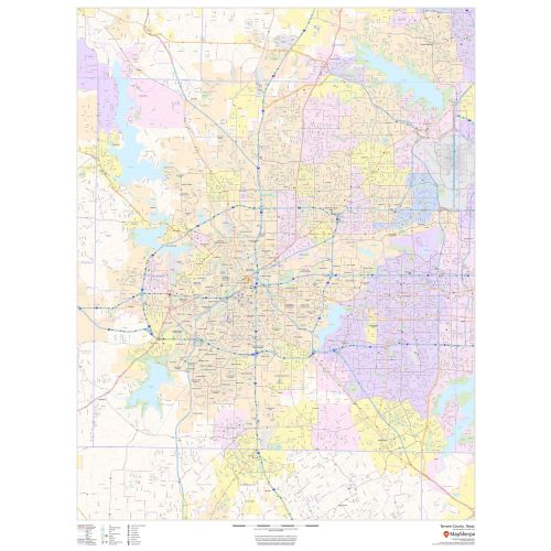
Tarrant County Map (Texas)
Tarrant County Map shows regional level information that includes major roads, highways, neighborhood names, railways, high-level land use like parks, recreation areas, industrial areas, and hospital campuses. The map features clear ZIP code boundaries. Major infrastructures like airports and train stations, tourist information, police stations, and shopping centers are also identifiable.
Details
Tarrant County, Texas Maps shows ZIP code boundaries, highway and roads with Labelling, Railways, Transportation hub, Tourist Information, Police Stations.
More Information
| SKU | dmsg-county-str-tarrant-TX-1 |
|---|---|
| Map Scale | 1:60,000 |
| Flat Size | 36 x 48 in |
| Publication Date | 2018 |
| Publisher Name | MapSherpa |
Reviews
{{title}}
{{detail}}
No reviews yet ...
Have an opinion? Help others decide. Share your knowledge about this product by submitting a review.
{{/items}}
{{#previousPage}}
Previous Page
{{/previousPage}}
{{#load-more-src}}
Next Page
{{/load-more-src}}
★★★★★
★★★★★