Woolstalf Creek Quadrangle Map, California
Details
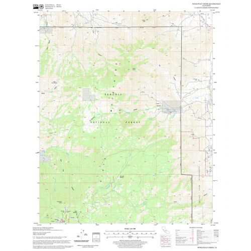
United States Department of Agriculture Forestry Service topographical map of Woolstalf Creek, Sequoia National Forest, California.
More Information
| SKU | usdafs-woolstalf-creek-ca-1 |
|---|---|
| Map Scale | 1:24,000 |
| Flat Size | 21.75 x 27 in |
| Publication Date | 2008 |
| Publisher Name | United States Department of Agriculture Forest Service |
Reviews
{{title}}
{{detail}}
No reviews yet ...
Have an opinion? Help others decide. Share your knowledge about this product by submitting a review.
{{/items}}
{{#previousPage}}
Previous Page
{{/previousPage}}
{{#load-more-src}}
Next Page
{{/load-more-src}}
★★★★★
★★★★★