Georgia Map
Details
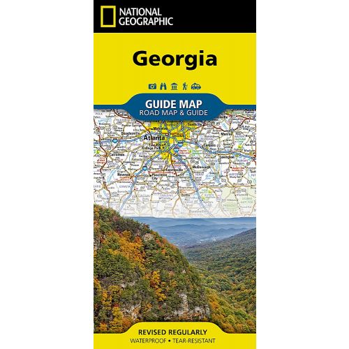
National Geographic's Georgia Guide Map provides travelers with the perfect combination of detail and perspective in a highly functional travel tool. A handy combination of map and guidebook, this map is loaded with information on historical, cultural, recreational, and ecological attractions. Cities and towns are easy to locate with the map's helpful index. Hundreds of points of interest are shown, along with national and state parks, public campsites, visitor information centers, airports, and hospitals. A complete road network of highways, tollways, and other roads, along with distances noted in miles for major highways, will help you find the route that's right for you.
Inset maps of Atlanta, Athens, Augusta, Albany, Savannah, Brunswick-Jekyll Island, Macon, and Columbus provide greater detail of these urban centers. The Okefenokee National Wildlife Refuge and Swamp Park is highlighted, as is the Sea Islands scenic drive from Savannah to Jekyll Island. Whether your travels in Georgia bring you to its cities or its most remote wilderness areas, you'll find this map to be an invaluable tool for exploring the largest state east of the Mississippi.
Every State Guide Map is printed on durable synthetic paper, making them waterproof, tear-resistant and tough — capable of withstanding the rigors of any kind of travel.
More Information
| SKU | GM01020594 |
|---|---|
| Map Scale | 1:1,314,000 |
| Folded Size | 4 x 8.75 inch |
| Flat Size | 17.75 x 24.75 inch |
| Publication Date | 2019 |
| Publisher Name | National Geographic Maps |
| Product Series | Guide Maps |
Reviews
{{title}}
{{detail}}