Deerfield Beach FL, Map
Details
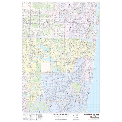
This map of Deerfield Beach gives street details with labeling, landmarks, government buildings, schools, churches, major routes (SR-845), water bodies, and much more. Information on the map also explains Town and Zip code boundaries.
The map also includes highway infrastructure including interchanges, weigh stations, and tolls. Infrastructures such as Airport, train stations (Deerfield Beach station), Hospitals, shopping malls, exhibition centers, industrial complexes, recreational parks (Deerfield Beach Arboretum), and other business-centric features can be identified on the map.
About Deerfield Beach, Florida
Deerfield Beach is a city in Broward County, Florida, United States, just south of the Palm Beach County line. The city is named for the numerous deer that once roamed the area. It is a principal of the Miami metropolitan area. Deerfield Beach’s landmass 0.3 square miles is located on Deerfield Beach Island.
Facts and Figures of Deerfield Beach, Florida
- Latitudinal and Longitudinal Coordinates-26.18’19” N 80.07’11” W
- Elevation- 13 ft (4 m)
- Total Area-16.22 square miles(42.01 km2)
- Zip Codes-33441-33443
- Area Code-754, 954
More Maps Of Florida Cities
More Information
| SKU | svd_fl_deerfield_beach_24 |
|---|---|
| Map Scale | 1:15k |
| Flat Size | 24 x 36 in |
Reviews
{{title}}
{{detail}}