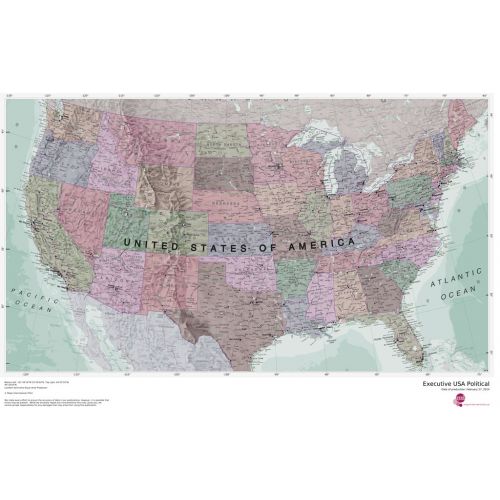
Executive USA Political Map
Customize the USA map with states and cities around your business service area. Search for a location on the map, use the zoom settings to define the print area, and preview the final map after making all the adjustments. The map depicts all the cities and major roads along with state and political boundaries. It is available in high quality print with a muted color tone used throughout the map.
Details
Executive USA Political Map is an Splendid map in muted tones. It clearly depicts all the cities, major roads & also shows all the state areas and boundaries.
More Information
| SKU | 4db90f42a3659332da96597edb1dc597 |
|---|---|
| Map Specification | Optimum Print Scale: 1:4,250,000 |
| Publisher Name | Maps International |
Reviews
{{title}}
{{detail}}
No reviews yet ...
Have an opinion? Help others decide. Share your knowledge about this product by submitting a review.
{{/items}}
{{#previousPage}}
Previous Page
{{/previousPage}}
{{#load-more-src}}
Next Page
{{/load-more-src}}
★★★★★
★★★★★