Hayward Map
Details
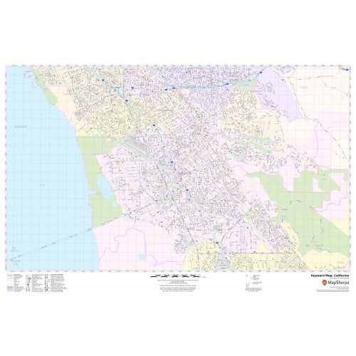
The Hayward City, Colorado map has been designed with accuracy and based on the well-researched data. The town, municipality, and Zip code areas are demarcated on the map. The map shows street details with clearly marked landmarks, government buildings, schools, churches, Hospital Campus, airports, recreational parks, lakes, rivers, and more. The base map also features all the major roads and highways(I-880, SR-92, SR-238) and neighborhoods with names. A map legend at the bottom helps identify all signs and symbols used on the map.
About Hayward City, Colorado
Hayward is a city located in Alameda County, California in the East Bay subregion of San Francisco Bay Area. Hayward is included in the San Francisco-Oakland-Fremont Metropolitan statistical area. It is located primarily between Castro Valley and Union City and lies at the eastern terminus of the San Mateo-Hayward Bridge. The Zip code of the City ranges from 94540-94546,94552,94557 and the area code is 510 and 341.
Municipalities and Communities Bordering Hayward, California
- San Leandro
- Union City
- Fremont
- Pleasanton
- Castro Valley
- San Lorenzo
- Cherryland
- Sunol
- Fairview
More maps of California Cities
More Information
| SKU | svd_ca_hayward_24 |
|---|---|
| Map Scale | 1:15,000 |
| Flat Size | 24 x 36 in |
Reviews
{{title}}
{{detail}}