Oxnard Map
Details
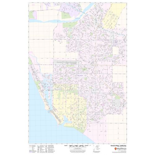
This map of Oxnard City has been designed with accuracy based on well-researched data. Significant physical attributes like, Major Beaches(channel Island Beach)(Mandalay state Beach), lakes, recreation parks, are clearly visible on the map. The map highlights Municipal, town, and ZIP code boundaries.
Transportation routes (SR-1, SR-34, SR-232) interlinking the cities of California, the USA is marked neatly in the map with color-coded markings color-coded markings. Major infrastructure like colleges, airports, police stations, shopping malls, industrial complexes, hospitals train stations is also identifiable.
About Oxnard, California
Oxnard is a city in Ventura County, California, the United States located on California’s South Coast, is the most populous city in Ventura County. Incorporated in 1903, Oxnard lies approximately 60 miles (97 km) west of downtown Los Angeles and is part of the larger Greater Los Angeles area.
The Zip codes of the City range from 93030-93036 and the area code is 805. Oxnard is a major transportation hub in southern California, with Amtrak, Union Pacific, Metrolink, Greyhound. With its beaches, dunes, wetlands, Creeks and the Santa Clara River, the area contains a number of important biological communities.
More maps of California Cities
More Information
| SKU | svd_ca_oxnard_24 |
|---|---|
| Map Scale | 1:17,000 |
| Flat Size | 24 x 36 in |
Reviews
{{title}}
{{detail}}