Federal Heights Map
Details
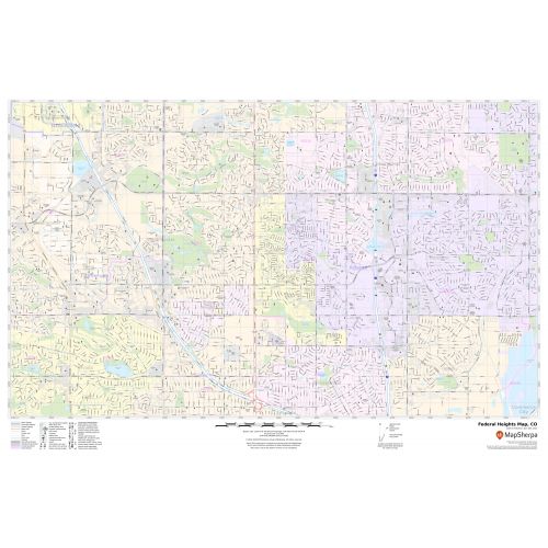
The highly detailed Federal Heights Map highlights Municipal, Town, and ZIP code boundaries. The major roads and highways (I-25, US-287, US-36) are easily identifiable on the map. A map legend at the bottom helps identify all signs and symbols used on the map. Infrastructures such as hospitals, shopping malls, exhibition centers, industrial complexes, airports, and other business-centric features can be identified in the map. The customizable map is available in landscape and portrait orientation and various premium finishes.
About Federal Heights, Colorado
The City of Federal Heights is a Home Rule Municipality located in Adams County in the U.S state of Colorado. This City is a part of the Denver-Aurora metropolitan area and located 11 miles from Denver and 17 miles from Aurora. Federal Heights is the home of a major family water park named Water World
Facts and Figures of Federal Heights, Colorado
Latitudinal and longitudinal Coordinates- 39.51.58”N 105.0’51” W
Elevation - 5,292 ft(1,613 m)
Zip Codes - 80221,80234,80260
Area Code -303 and 720
Total Area -1.78 sq miles(4.60 km2)
More maps
More Information
| SKU | svd_co_federal_heights_24 |
|---|---|
| Map Scale | 1:11k |
| Flat Size | 24 x 36 in |
Reviews
{{title}}
{{detail}}