Littleton Map
Map of Littleton, Colorado uses the base map data from TomTom. The data is updated every 6 months making this one of the most updated printed large map of Littleton and its neighborhood areas.
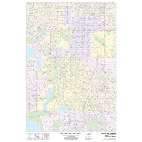
This map is available in a scale of 1:19,000 in 24 x 36 inches. If you want a map with different extents, orientation, or scale, you can do that by customizing the map here.
If you have any questions, we will be happy to answer over the phone (866) 525-2298 or write to us
Details
About Littleton, Colorado
Littleton is a Home Rule Municipality in Arapahoe, Douglas, and Jefferson Counties that is the County seat of Arapahoe County, Colorado, United States. The City is a part of the Denver-Aurora-Lakewood, Colorado Metropolitan Statistical Area. Located in central Colorado at the junction of U.S Route 85 and Colorado State Highway 470, the City is 9 miles (14 km) south of downtown Denver and 55 miles (89 km) north of Colorado Springs.
The ZIP code of the City ranges from 80120-80130, 80160-80163(PO Boxes), 80165,80166.
Cities Bordering Littleton, Colorado
- North- Denver, and Englewood
- Northeast-Greenwood Village
- East- Centennial
- South-Highlands Ranch
- West-Columbine and Columbine Valley
- North West-Bow Mar
More Maps
More Information
| SKU | svd_co_littleton_24 |
|---|---|
| Map Scale | 1:19,000 |
| Flat Size | 24 x 36 in |
Reviews
{{title}}
{{detail}}
No reviews yet ...
Have an opinion? Help others decide. Share your knowledge about this product by submitting a review.
{{/items}}
{{#previousPage}}
Previous Page
{{/previousPage}}
{{#load-more-src}}
Next Page
{{/load-more-src}}
★★★★★
★★★★★