Northglenn Map
Map of Northglenn, Colorado uses the base map data from TomTom. The data is updated every 6 months making this one of the most updated printed large map of Northglenn and its neighborhood areas.
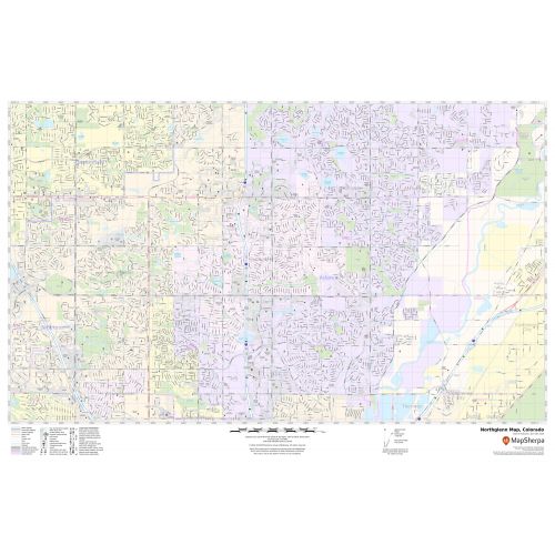
This map is available in a scale of 1:13,000 in 36 x 24 inches. If you want a map with different extents, orientation, or scale, you can do that by customizing the map here.
If you have any questions, we will be happy to answer over the phone (866) 525-2298 or write to us
Details
About Northglenn, Colorado
Northglenn is the home rule municipality in Adams and Weld Counties, in the U.S state of Colorado. The City was built as a master-planned community in 1959 by Jordon Perlmutter. The City is directly connected to Downtown Denver via the forthcoming Regional Transportation District N line at Northglenn/112 station.
Facts and Figures of Northglenn, Colorado
Latitudinal and Longitudinal Coordinates- 39.53’51”N 104.58’55”W
Total Area- 7.5 squares miles (19.4 km2)
Total Land Area-7.4 square miles (19.2 km2)
Elevation-5,377 ft (1,639 m)
Zip codes-80233,80234,80241,80260
Area Codes- 303 and 720
More Maps
More Information
| SKU | svd_co_northglenn_24 |
|---|---|
| Map Scale | 1:13,000 |
| Flat Size | 24 x 36 in |
Reviews
{{title}}
{{detail}}
No reviews yet ...
Have an opinion? Help others decide. Share your knowledge about this product by submitting a review.
{{/items}}
{{#previousPage}}
Previous Page
{{/previousPage}}
{{#load-more-src}}
Next Page
{{/load-more-src}}
★★★★★
★★★★★