Dallas County Map (Texas)
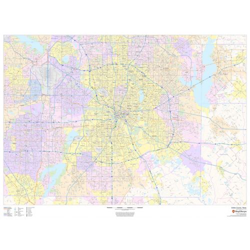
Dallas County map, Texas shows regional and street-level information. The base map includes highways, major roads, neighborhood names, railways, high-level land use like parks, recreation areas, industrial areas, and hospital campuses. Major infrastructures like airports and train stations, tourist information, police stations, and shopping centers are also identifiable. The ZIP code boundaries are shown as a secondary map feature.
Details
Dallas County, Texas Map Shows roads & highways labelled, neighborhood names, railways, Transportation Hub, Industrial Areas,etc. Visit the Online store Of Maptrove.ca
More Information
| SKU | dmsg-county-str-dallas-TX-1 |
|---|---|
| Map Scale | 1:65,000 |
| Flat Size | 48 x 36 in |
| Publication Date | 2018 |
| Publisher Name | MapSherpa |
Reviews
{{title}}
{{detail}}
No reviews yet ...
Have an opinion? Help others decide. Share your knowledge about this product by submitting a review.
{{/items}}
{{#previousPage}}
Previous Page
{{/previousPage}}
{{#load-more-src}}
Next Page
{{/load-more-src}}
★★★★★
★★★★★
Related Products
Harris County Map (Texas)
As low as
$39.99
Tarrant County Map (Texas)
As low as
$38.99
Travis County Map (Texas)
As low as
$38.99
Dallas TX Zip Code Map
As low as
$39.99
Dallas - Fort Worth Zip Codes Map, Texas ZIP Codes
As low as
$39.99
Forth Worth Zip Codes Map, Texas ZIP Codes
As low as
$39.99
Dallas County ZIP Code Map (Texas)
As low as
$39.99