Middlesex County Zip Code Map, Massachusetts ZIP Codes
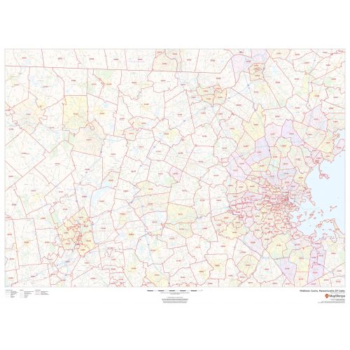
The Massachusetts, Middlesex County ZIP code map is ideal for planning deliveries, home services, sales territories, real estate and much more. It is overlaid on a road map that features all roads with major roads and highways labeled; neighborhood names; railways; and high-level land use such as parks and recreation areas, industrial areas and hospital campuses.
Details
Middlesex County, Massachusetts ZIP Codes areas overlaid on a road map also includes Highways & Major Roads with Labelling, High Level Land, Transportation Hub (airports, train stations).
For Massachusetts Zip Code Maps
More Information
| SKU | dmsg-county-zip-middlesex-MA-1 |
|---|---|
| Map Scale | 1:85,000 |
| Flat Size | 48 x 36 in |
| Publication Date | 2018 |
| Publisher Name | MapSherpa |
Reviews
{{title}}
{{detail}}
No reviews yet ...
Have an opinion? Help others decide. Share your knowledge about this product by submitting a review.
{{/items}}
{{#previousPage}}
Previous Page
{{/previousPage}}
{{#load-more-src}}
Next Page
{{/load-more-src}}
★★★★★
★★★★★