Weld County Zip Code Map, Colorado
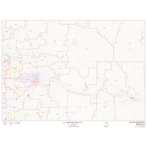
This Zip Code Map of Weld County, Colorado has been made with intricate details showing various zip codes in the area. It marks all 5 digit zip code areas using red boundaries overlaid on the road map along with major highways (I-25, I-76). The base map features include all the extensive geographic details. City, township, and municipality areas are demarcated with distinct colors within the county boundaries.
This map is available in a scale of 1:70,000 in 48 x 36 inches in landscape orientation. If you want a map with different extents, or portrait orientation, or scale, you can do that by customizing the map here. If you have any questions, we will be happy to answer over the phone (866) 525-2298 or write to us
Details
Major infrastructure like Golf Course, recreation areas, industrial complexes, hospitals, postal Districts is also identifiable. A map legend featured at the bottom helps all the signs, characters graphics, and symbols used throughout the map.
About Weld County, Colorado
Weld County is a county in the U.S state of California. The county seat is Greeley. Weld County includes the Greeley, Colorado Metropolitan Statistical Area which is also included in the Denver-Aurora, Colorado Combined Statistical Area. Weld County lies within the relatively flat eastern portion of Colorado.
The Zip Codes of Weld County, Colorado range from 80504-80551, 80603-80652, 80729-80754 and roughly cover 39 Zip Codes. The area codes are 720, 303, and 970, and Weld County, Colorado covers 33 cities.
Bordering Boulder County, Colorado
- Southeast- City and County of Broomfield, Colorado
- North- Larimer County
- South- Gilpin County, Jefferson County, Colorado
- West- Grand County, Colorado
- East- Weld County, Colorado
More Maps of Colorado
More Information
| SKU | svd_weld_county_co |
|---|---|
| Map Scale | 1:70K |
| Flat Size | 36 x 48 in |
Reviews
{{title}}
{{detail}}