We have a Pacific-centered world map that displays the antique-executive style National Geographic cartography. Its unique view employs a new map projection to accentuate the Pacific Rim. Oceania and Asia are shown in close proportion to their actual size on the Earth. They are bought in the center of the picture, while dramatically showing the entire breadth of the Pacific Ocean.
Other than this, all political boundaries, place names, time zones, and special insets showing world vegetation and land use are also depicted on the map.
Buy This World Map
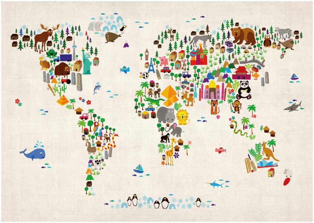
Kids Animal Map of the World
From $21.53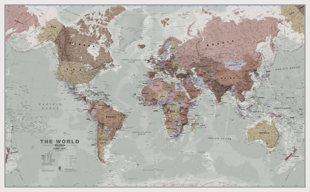
Executive World Wall Map
From $28.45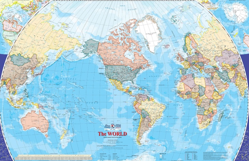
The World Wall Map
From $20.76
