USA Map Political
The United States Political Map is composed using different colors and depicts all the cities, major roads, state areas, and political boundaries. You can customize this map around any city or location of your choice. The high-quality map can be used as a business tool or as wall decor. It is available in different sizes, orientation, and finishing material.
Details
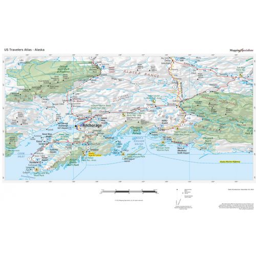
This USA map clearly depicts all the cities, major roads and also shows all the state areas and boundaries
More Information
| SKU | 4db90f42a3659332da96597edb1de506 |
|---|---|
| Publisher Name | Maps International |
Reviews
{{title}}
{{detail}}
No reviews yet ...
Have an opinion? Help others decide. Share your knowledge about this product by submitting a review.
{{/items}}
{{#previousPage}}
Previous Page
{{/previousPage}}
{{#load-more-src}}
Next Page
{{/load-more-src}}
★★★★★
★★★★★