Utica Map
Details
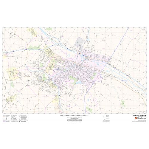
The self-explanatory Utica City map depicts street details with marked landmarks, shopping malls, government buildings(Alexander Pirnie Federal Building), schools, churches(Calvary Episcopal Church), University, highways (I-81,NY-5, SR-840,NY-49), and more. The map also identifies Municipal, Town, and Zip code boundaries.
The map also depicts hospital campuses, postal districts, streets(Genesee Street) and neighborhoods (Triangle neighborhood), industrial areas, and recreation areas and parks (Utica Zoo), and much more. A map legend featured at the bottom helps all the signs, characters graphics, and symbols used throughout the map.
About Utica, New York
Utica is a city in the Mohawk Valley and the county seat of Oneida County, New York, United States. The City is Located on the Mohawk River at the foot of the Adirondack Mountains at the New York’s geographic Center. Utica anchor the Utica-Rome Metropolitan Statistical Area, which comprises all of Oneida and Herkimer counties.
Bordering Utica, New York
- South- Allegheny Plateau
- Northwest- Albany(55 miles), New York City(240 miles)
- North-Adirondack Mountains
- East- Syracuse, (240 miles)
- West- Herkimer County
More Maps Of New York Cities
More Information
| SKU | svd_ny_utica_36 |
|---|---|
| Map Scale | 1:19,000 |
| Flat Size | 24 x 36 in |
Reviews
{{title}}
{{detail}}