The Bahamas, a country in the Caribbean consists of more than 700 islands, cays, and islets in the Atlantic Ocean. It is known for the pristine aqua waters and white sandy beaches. All of which are visibly marked on the map.
Relief shading is also used throughout the map to depict all essential aspects of physical geography and land surfaces. You can view the capital city of the Bahamas, Nassau and the Abaco Islands and Grand Bahama that were struck by Hurricane Dorian on the map. It is an ideal memorabilia for any Bahamian.
Buy this map
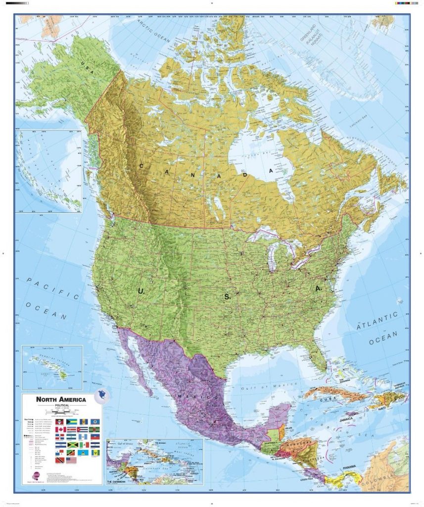
North America Political Wall Map
From $31.53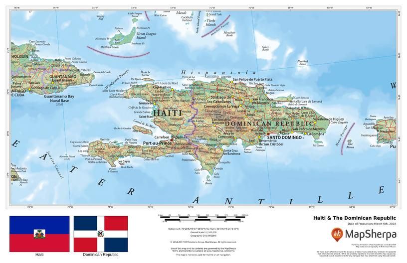
Haiti & The Dominican Republic
From $15.38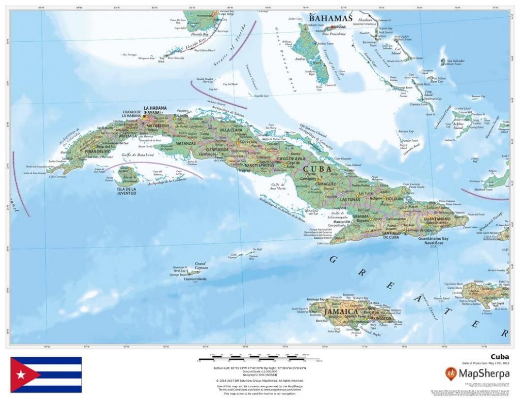
Cuba Map
From $16.92
