Englewood Map
Map of Englewood, Colorado uses the base map data from TomTom. The data is updated every 6 months making this one of the most updated printed large map of Englewood and its neighborhood areas.
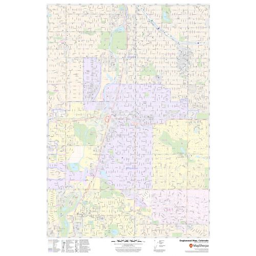
This map is available in a scale of 1:13,000 in 24 x 36 inches. If you want a map with different extents, orientation, or scale, you can do that by customizing the map here.
If you have any questions, we will be happy to answer over the phone (866) 525-2298 or write to us
Details
About Englewood, Colorado
The City of Englewood is a Home Rule Municipality in Arapahoe County in Colorado, United States. The City is a part of the Denver-Aurora Metropolitan Area. Englewood is located in the South Platte River Valley east of the Front Range and directly south of central Denver.The place-name “ Englewood” is assigned to 4 Zip codes(80110,80111,80113,80113).
Central Englewood can be roughly divided into quadrants, with X-axis being Hampden Avenue and the y-axis being Broadway. Downtown is located between Santa Fe Drive and Broadway.
Cities Bordering Englewood, Colorado
- North- Denver
- East- Cherry Hills Village, Greenwood Village
- South-Littleton, Greenwood Village
- West-Sheridan, Bow Mar, Denver Littleton.
More Maps
More Information
| SKU | svd_co_englewood_24 |
|---|---|
| Map Scale | 1:13,000 |
| Flat Size | 24 x 36 in |
Reviews
{{title}}
{{detail}}
No reviews yet ...
Have an opinion? Help others decide. Share your knowledge about this product by submitting a review.
{{/items}}
{{#previousPage}}
Previous Page
{{/previousPage}}
{{#load-more-src}}
Next Page
{{/load-more-src}}
★★★★★
★★★★★