Fountain Map
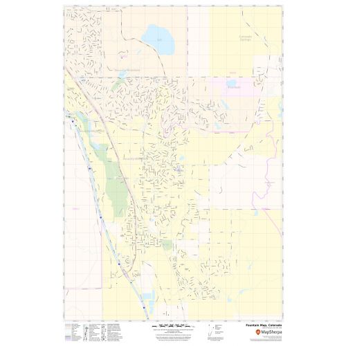
Map of Fountain, Colorado uses the base map data from TomTom. The data is updated every 6 months making this one of the most updated printed large map of Fountain and its neighborhood areas.
This map is available in a scale of 1:14,000 in 24 x 36 inches. If you want a map with different extents, orientation, or scale, you can do that by customizing the map here.
If you have any questions, we will be happy to answer over the phone (866) 525-2298 or write to us
Details
About Fountain, Colorado
Fountain city is the home rule municipality in El Paso County, Colorado, in the U.S state of Colorado. Fountain City is located 10 miles (16km) south of downtown Colorado Springs and just east of Fort Carson. Fountain and Colorado Springs suburbs Security and Widefield make up the “Fountain Valley” community.
Facts and Figures of Fountain, Colorado
Latitudinal and Longitudinal Coordinates- 38.41’38” N 104.41’531” W
Total Area- 24.54 squares miles (63.55km2)
Total Land Area-24.5square miles (63.45km2)
Elevation-5,545 ft (1,690m)
Zip codes-80817
Area Code-719
More Maps
More Information
| SKU | svd_co_fountain_24 |
|---|---|
| Map Scale | 1:14,000 |
| Flat Size | 24 x 36 in |
Reviews
{{title}}
{{detail}}
No reviews yet ...
Have an opinion? Help others decide. Share your knowledge about this product by submitting a review.
{{/items}}
{{#previousPage}}
Previous Page
{{/previousPage}}
{{#load-more-src}}
Next Page
{{/load-more-src}}
★★★★★
★★★★★
Related Products
We found other products you might like!
Colorado Springs, Colorado Inner Metro - Landscape Map
As low as
$39.99
Colorado Springs, Colorado Inner Metro - Portrait Map
As low as
$39.99
Pueblo ZIP Code Map, Colorado
As low as
$41.99
Canon City ZIP Code Map, Colorado
As low as
$41.99
Colorado Springs Map
As low as
$32.99
Pueblo Map
As low as
$24.99