Lafayette Map
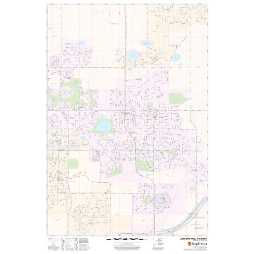
Map of Lafayette, Colorado uses the base map data from TomTom. The data is updated every 6 months making this one of the most updated printed large map of Lafayette and its neighborhood areas.
This map is available in a scale of 1:11,000 in 24 x 36 inches. If you want a map with different extents, orientation, or scale, you can do that by customizing the map here.
If you have any questions, we will be happy to answer over the phone (866) 525-2298 or write to us
Details
About Lafayette, Colorado
The City of Lafayette is a Home Rule Municipality located in Boulder County, Colorado, United States. Lafayette is located in southeastern Boulder, bordered by the town Erie to the north and east, by the City of Broomfield to the east and south and by Louisville, to the southwest. The U.S. Highway 287 is the main road through the City.
Facts and Figures of Lafayette, Colorado
Latitudinal and longitudinal Coordinates- 39.59’42” N 105.06’02” W
Elevation- 5,210;ft(1,588 m)
Zip Code-80026
Area Code-303 and 720
Total Area-9.5 sq miles(24.6 km2)
More Maps
More Information
| SKU | svd_co_lafayette_24 |
|---|---|
| Map Scale | 1:11,000 |
| Flat Size | 24 x 36 in |
Reviews
{{title}}
{{detail}}
No reviews yet ...
Have an opinion? Help others decide. Share your knowledge about this product by submitting a review.
{{/items}}
{{#previousPage}}
Previous Page
{{/previousPage}}
{{#load-more-src}}
Next Page
{{/load-more-src}}
★★★★★
★★★★★