Erie Map
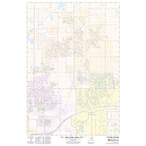
Map of Erie, Colorado uses the base map data from TomTom. The data is updated every 6 months making this one of the most updated printed large map of Erie and its neighborhood areas.
This map is available in a scale of 1:16,000 in 24 x 36 inches. If you want a map with different extents, orientation, or scale, you can do that by customizing the map here.
If you have any questions, we will be happy to answer over the phone (866) 525-2298 or write to us
Details
About Erie, Colorado
The Town of Erie is a Statutory Town in Boulder and weld Counties in the U.S state of Colorado. Erie is located just west of Interstate 25, with easy access to Interstate 70, Denver International Airport and Colorado ’s entire Front Range.
Erie is located 22 miles (35 km) of downtown Denver and 41 miles(66 km) north of Fort Collins. Erie is served by Exit off I-25.
Facts and Figures of Erie, Colorado
Latitudinal and Longitudinal Coordinates-40.02’25”N 105.02'22”W
Elevation-5,130 ft (1,564m)
Total Area-19.54 square miles(50.62 km2)
ZIP Codes-80514,80516
Area Code-303 & 720
More Maps
More Information
| SKU | svd_co_erie_24 |
|---|---|
| Map Scale | 1:16,000 |
| Flat Size | 24 x 36 in |
Reviews
{{title}}
{{detail}}
No reviews yet ...
Have an opinion? Help others decide. Share your knowledge about this product by submitting a review.
{{/items}}
{{#previousPage}}
Previous Page
{{/previousPage}}
{{#load-more-src}}
Next Page
{{/load-more-src}}
★★★★★
★★★★★